НавигацияАрхив новостейСтатистика |
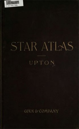
Star AtlasАвтор: Winslow Upton Издательство: Ginn & Company, Publishers Страниц: 74 Год: 1896 Размер: 2,62 МБ PREFACE Tins atlas is designed for teachers and students of Astronomy. Its aim is to supply maps for those who desire to familiarize themselves with the characteristic star groups, and also to include the leading objects of interest in the sky, which those possessing small telescopes may wish to examine. As the purpose of the atlas is educational rather than professional, it has been constructed in a form which it is hoped will be specially adapted to its use, and it contains some features and omits others which would find a place in an atlas for professional use. The maps are on a large scale and are few in number, with liberal overlaps. Conforming with the plan of systematic study outlined in the text there are six maps, two circumpolar, and four whose areas cover the region between declination N. 40 and S. 40. They are subdivided into four divisions corresponding with the four divisions into which the sky is divided by the equinoctial and solstitial colures. The projection is stereographic, chosen chiefly because of the gradual narrowing of the hour circles on the equatorial maps as the declination increases, and the better correspondence of the equatorial and polar maps at their marginal overlaps. The" six skeleton maps are -reduced from the larger ones, and are designed to give the characteristic stellar figures of each constellation area with greater prominence than they appear on the larger maps. This is secured by omitting the fainter stars and the historical figures, and by connecting the stars by guiding lines. |
ПопулярноеКалендарь
ОпросОцените дизайн сайта
Немного рекламы |
|||||||||||||||||||||||||||||||||||||||||||||||||
